

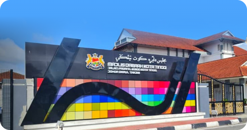
At the beginning of the establishment of the Kota Tinggi District Council, it was known as the Town Board through the Johor State Government Gazette Proclamation (J.P.U.25) Vol.20 No. 17, dated 12 August 1976 through the Town Board Enactment.
Subsequently, on 01 January 1977, through reorganization and source of power under Section 3, Local Government Act 1976 (Act 171), it became a Local Government with the name Kota Tinggi District Council through the Johor State Government Gazette Proclamation (J.P.U.46) dated 26 April 1979.
ADMINISTRATIVE AREA
Area involved 40 chains on the left/right of the road
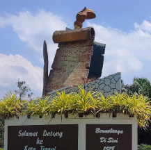
BANDAR KOTA TINGGI
38,590 HECTARE
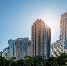
ULU SUNGAI JOHOR
91,427 HECTARE
ULU SUNGAI SEDILI BESAR
50,505 HECTARE
KAMBAU
19,684 HECTARE
SEDILI BESAR
20,720 HECTARE
TOTAL AMOUNT
220,927 HECTARE
HOLDING AREA
UPDATE ON 24 APRIL 2022: VALUATION AND PROPERTY MANAGEMENT DEPARTMENT RESOURCES
| AREA | HOLDING |
|---|---|
| BANDAR KOTA TINGGI | 24,443 |
| BANDAR TENGGARA | 5,021 |
| BANDAR PERANI | 153 |
| BANDAR PETRI JAYA | 217 |
| SEDILI BESAR | 615 |
| CONTRIBUTIONS HELP RATE | 1,956 |
| TOTAL | 32,405 |